Africa Map
Price: $195.00
Item # 2001
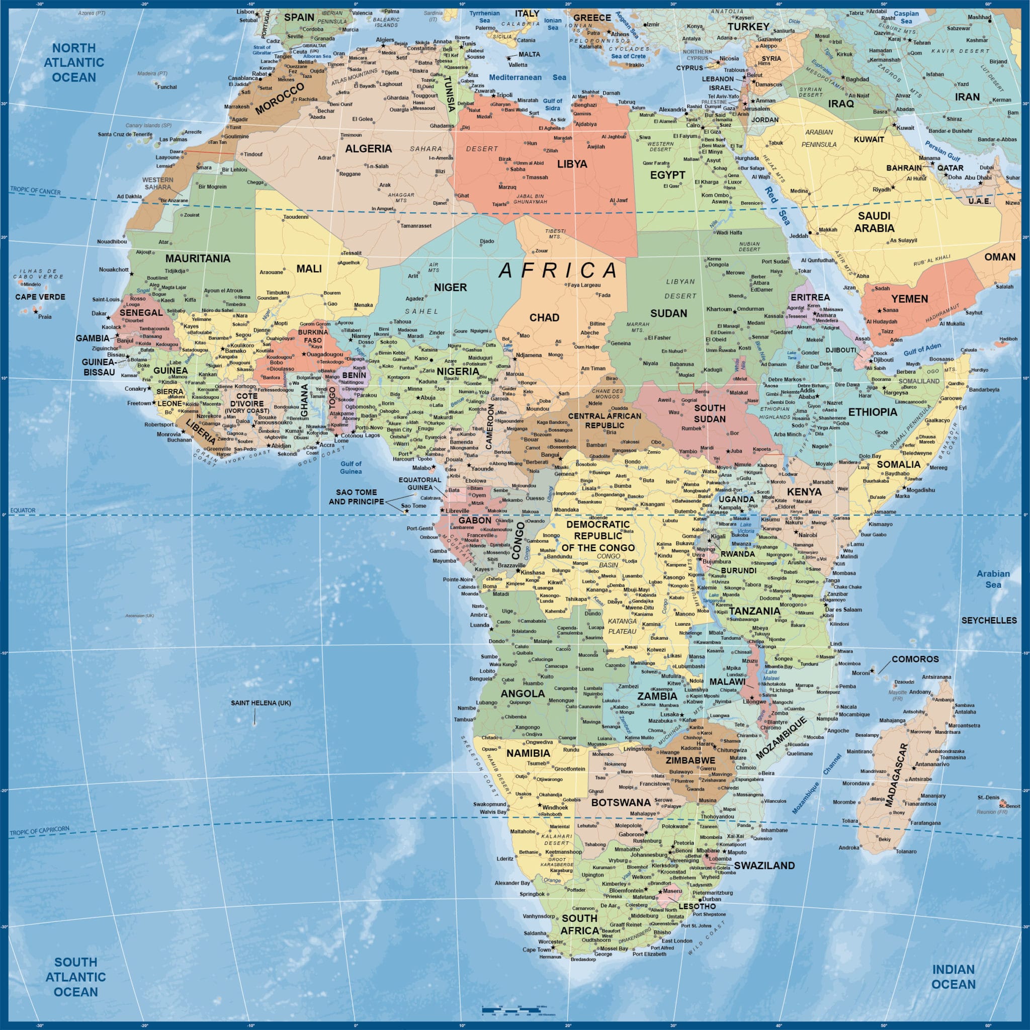
Africa Map contains minor cities and highways with a globe feel.
Our digital Africa Map is currently 48.0″ by 48.0″, which is full wall map size. This massive map gives off a globe look and feel, but is a highly informative product. Ocean contours add depth and give a sense of how much of this planet IS Africa. We can also print, laminate or mount any of our vector maps. Contact us for options and pricing.
Creative Force Maps:
- You immediately receive both the Adobe Illustrator and PDF files at time of purchase.
- Royalty-Free.
- Fully-Editable and logically layered.
- High-Resolution vector maps.
Layer Directory
- Legend
- Coordinate
- Map Border
- Sovereign Country Text
- Dependent Country Text
- Other Country Text
- State-Province-Region Text
- Capital City
- City Over 2M
- City Over 1M
- City Under 1M
- River Text
- Ocean Text
- Marine Text
- Geographic Text
- Geographic Line
- Disputed Admin Boundary
- Admin Boundary
- 10 Degree Graticule
- Major Highways
- Secondary Highways
- Lake Area
- River Line
- Breakaway-Disputed Area
- Sovereign Country Area
- Other Country Area
- Coastline
- Ocean Bathymetry
- Ocean Area
Other Maps

