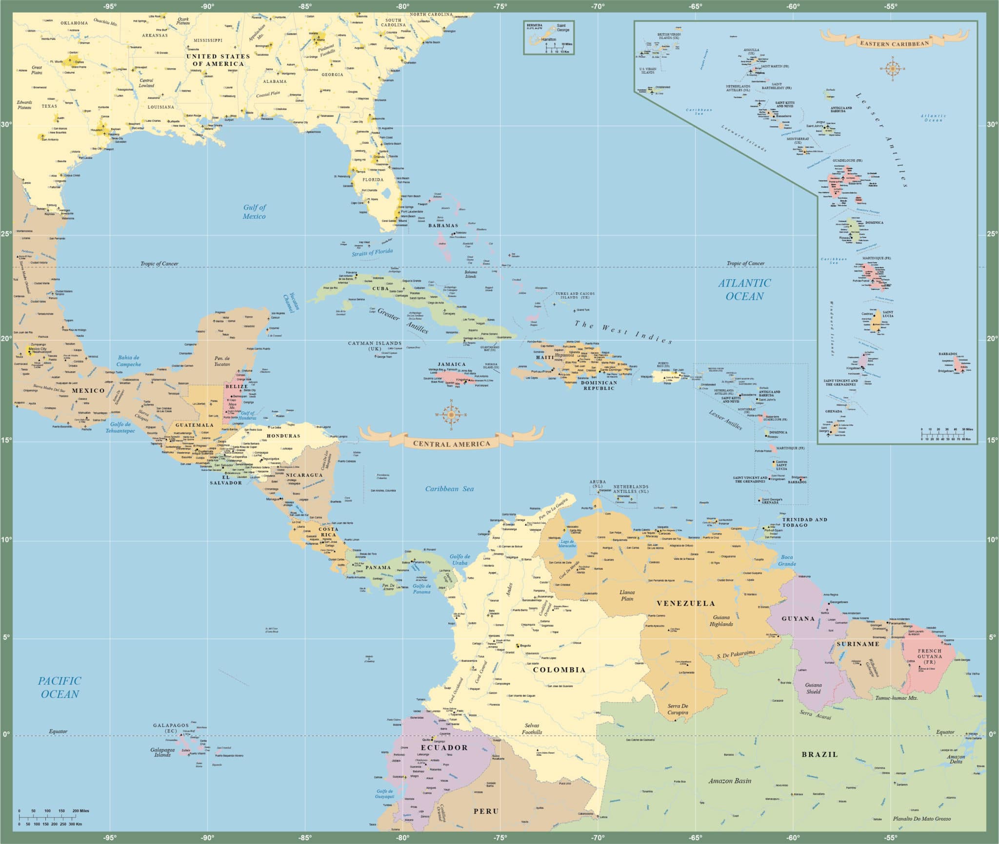
Central America-Caribbean Map
Price: $195.00
Item # 2003
Central America & Caribbean Map contains minor cities and highways.
Our digital Central America and Caribbean Map is currently 44.8″ by 37.9″, which is wall map size. The map gracefully absorbs a detailed inset of the Caribbean. We can also print, laminate or mount any of our vector maps. Contact us for options and pricing.
Creative Force Maps:
- You immediately receive both the Adobe Illustrator and PDF files at time of purchase.
- Royalty-Free.
- Fully-Editable and logically layered.
- High-Resolution vector maps.
Layer Directory
- Map Border
- Sovereign Country Text
- Dependent Country Text
- State Text
- State-Province-Region Text
- Airports
- City Over 1M
- City Over 250,000
- City Over 100,000
- City Other
- Elevation Text
- Water Text
- Disputed Admin Boundary
- Admin Boundary
- Islands
- Lake Area
- River Line
- US State Area
- Country Area
- Ocean Area
Other Maps

