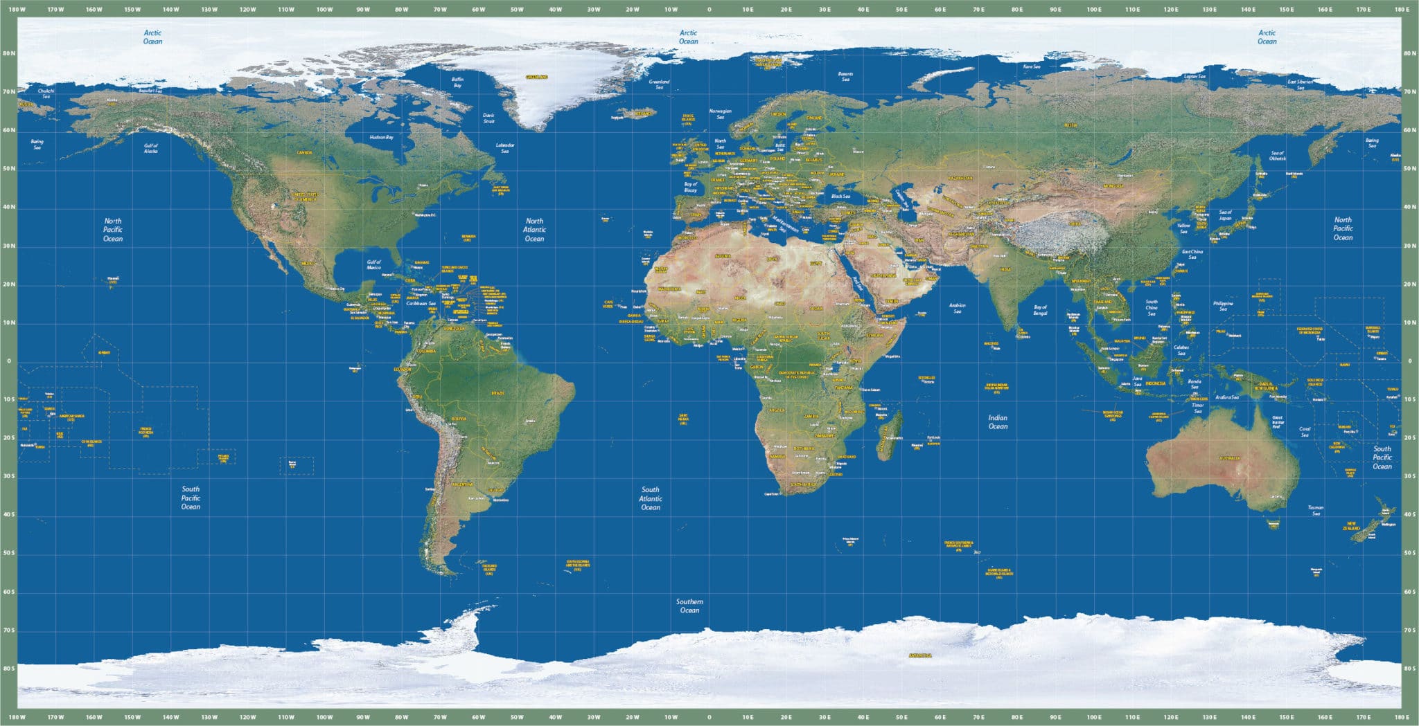
World Map (Satellite Europe-Centered Plate Caree)
Price: $195.00
Item # 1009
World Map with satellite image centered on Europe.
This Satellite World Map is centered on Europe in a Plate Caree projection and is currently 33.2″ by 16.5″. The tones accurately display both arid and tropical environments, and these lines are naturally quite pronounced. Zoom in to equatorial Africa. We can also print, laminate or mount any of our vector maps. Contact us for options and pricing.
Creative Force Maps:
- You receive both the Adobe Illustrator and PDF files immediately.
- Fully-Editable and logically layered vector maps.
- High-Resolution.
- Royalty-Free.
Layer Directory
- Lat-Long Text
- Map Border
- Country Text
- Sovereign Text
- Region Text
- Capital City Text
- Capital City Symbol
- Water Names
- Country Boundaries
- Administrative Boundaries
- Disputed Boundary
- 10 Degree Graticules
- Relief Image
Other Maps
