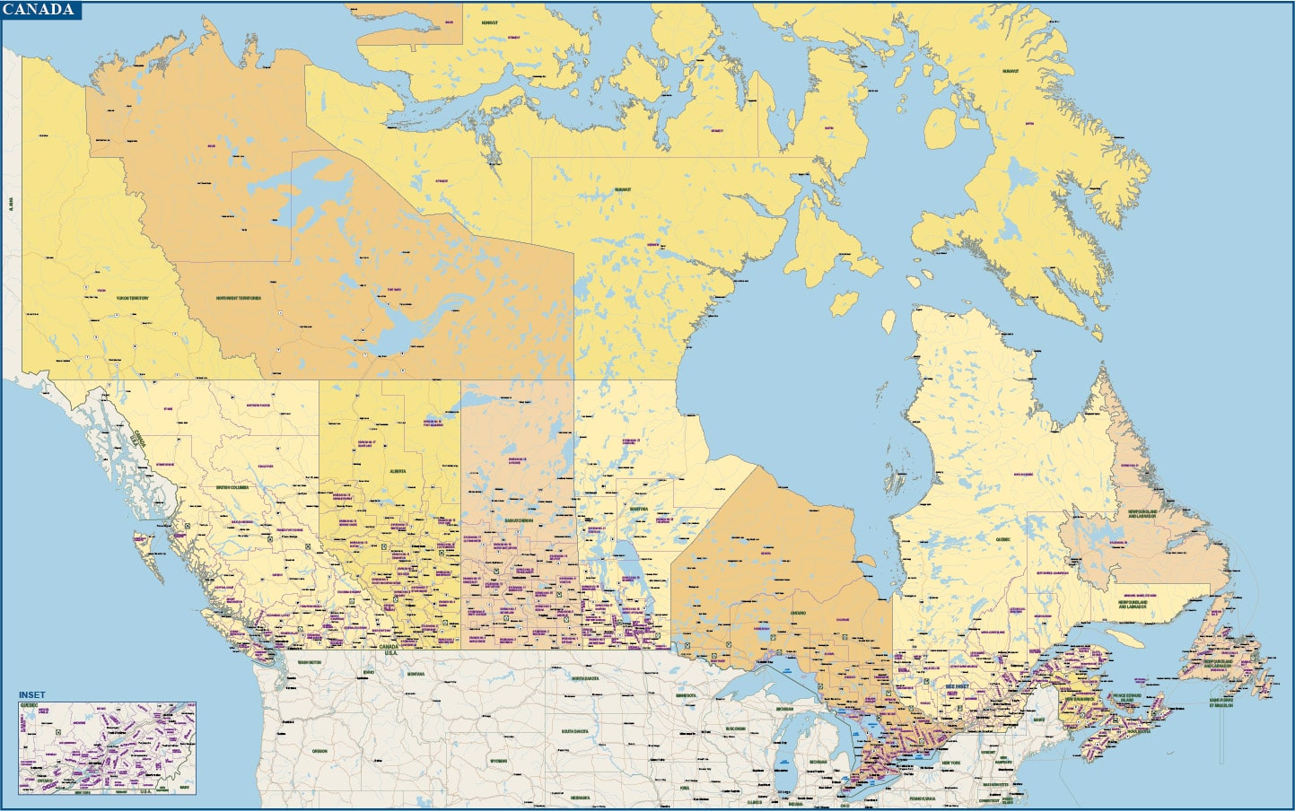
Canada with Counties and Districts Map
Price: $195.00
Item # 2802
Canada Map with cities, major highways, plus counties and districts.
Canada digital map is currently 80″ by 50″ and scaled to wall map size. Counties and districts are fillable polygons and labeled.
Creative Force Maps:
- You receive both the Adobe Illustrator and PDF files immediately.
- High-Resolution vector maps.
- Fully-Editable and logically layered.
- Royalty-Free.
Layer Directory
- Map Border
- Province & State Text
- County & District Text
- Major City Text
- Minor City Text
- Small City Text
- Smaller City Text
- Water Text
- City Symbols
- Highway Symbols
- Major Roads
- Railroads
- Province Boundary
- County & District Boundary
- USA State Boundary
- Water Lines
- Water Area
- Province Areas
- USA State Area
- Background
Other Maps


