China Map
Price: $195.00
Item # 2008
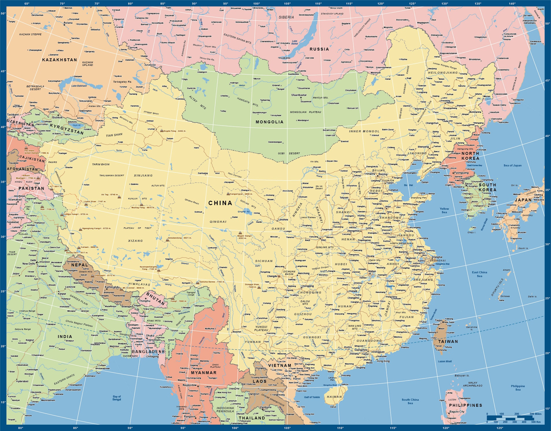
China Map contains province boundaries and names.
Our digital China Map contains province boundaries and names, and is currently 23.0″ by 18.0″. It can be scaled up to poster map size. The projection is the best for all of China, and gives a feel for its position on the globe. We can also print, laminate or mount any of our vector maps. Contact us for options and pricing.
Creative Force Maps:
- You immediately receive both the Adobe Illustrator and PDF files at time of purchase.
- Royalty-Free.
- Fully-Editable and logically layered.
- High-Resolution vector maps.
Layer Directory
- Map Border
- Country Text
- Province Text
- Capital City
- City Over 2M
- City Over 1M
- City Under 1M
- River Text
- Ocean Text
- Marine Text
- Geographic Text
- Province Boundary
- Disputed Admin Boundary
- Admin Boundary
- 5 Degree Graticule
- Major Highways
- Lake Area
- River Line
- China Area
- Other Country Area
- Ocean Area
Other Maps


