Collection of New York City Boroughs
Price: $795.00
Item # 4072
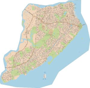
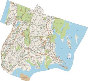
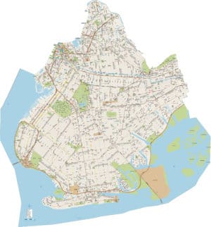
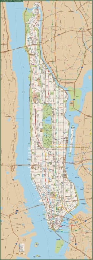
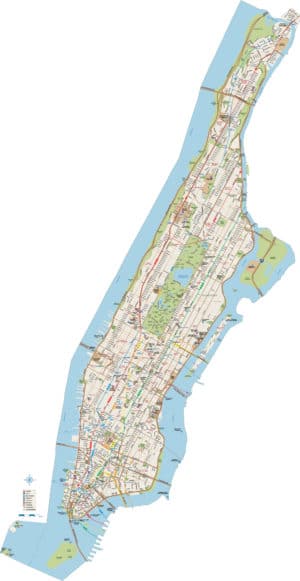
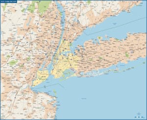
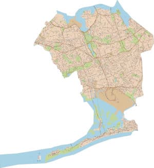
Collection of the 5 New York City Boroughs (All Streets)
Our Collection of the five New York City Boroughs contains every street and street name.All new maps as of 2015.This collection is extemely detailed and includes the Subway routes and station.You won’t find a better collection.
Creative Force Maps:
- You receive both the Adobe Illustrator and PDF files immediately.
- High-Resolution, so you can blow it up to wall map size.
- Fully-Editable and logically layered.
- We can extend the map at a minimal cost.
- Royalty-Free.
Layer Directory
- NYC Boundary
- Legend
- Highway Symbol
- Neighborhood Text
- Freeway Text
- Primary Road Text
- Secondary Road Text
- Tertiary Road Text
- Local Road Text
- Other Road Text
- College Text
- Hospital Text
- Landmark Text
- Park-Rec Text
- Shopping Text
- Water Text
- College Symbol
- Hospital Symbol
- Landmark Symbol
- Shopping Symbol
- Transit Symbol
- PATH Symbol
- Subway Stations
- NYC Subway Lines
- PATH Rail
- County Boundary
- Freeway Center
- Freeway
- Freeway Tunnel
- Primary Road
- Primary Tunnel
- Secondary Road
- Secondary Tunnel
- Tertiary Road
- Local Road
- Other Road
- Ramp
- Water Area
- Landmark Area
- Park-Rec Area
- Borough Area
- Background
Other Maps
