Data & Zip Codes
FULLY CUSTOM FROM $245
(DEPENDS ON COVERAGE & DETAIL)
(DEPENDS ON COVERAGE & DETAIL)
Data & Zip Codes
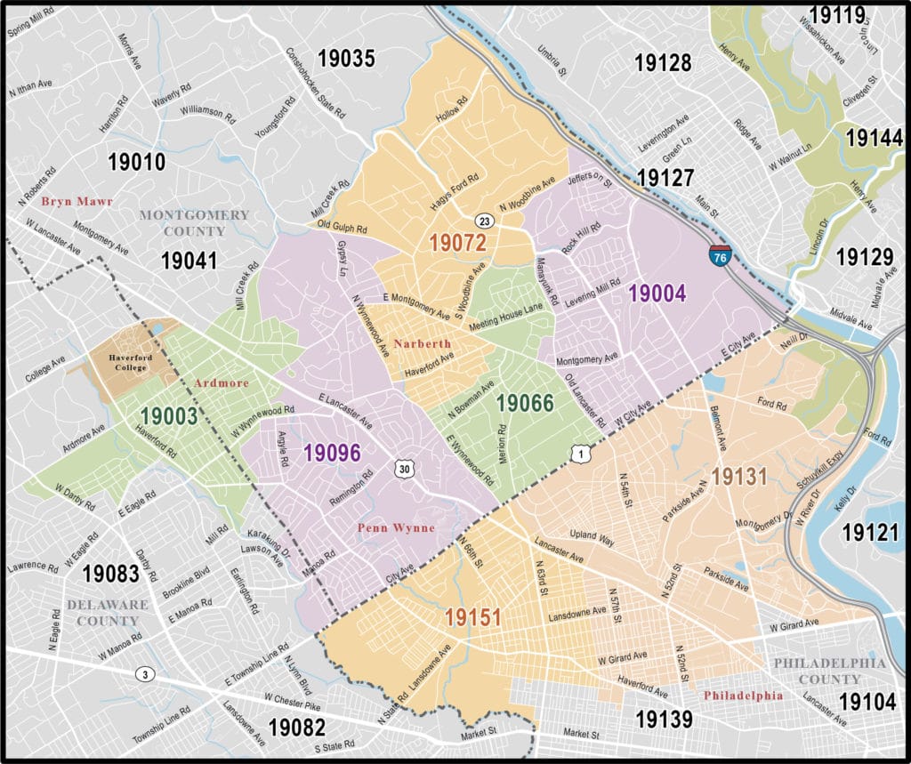
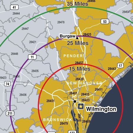
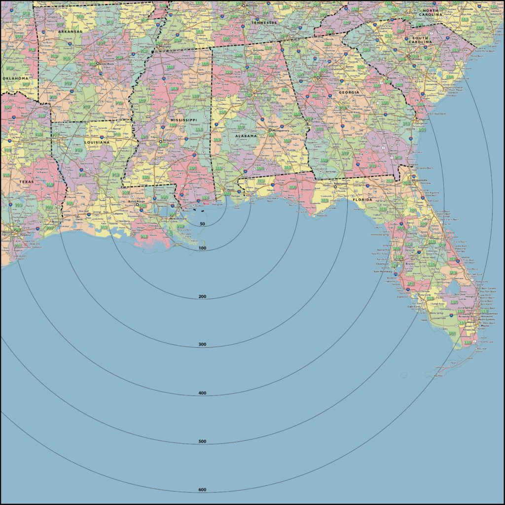
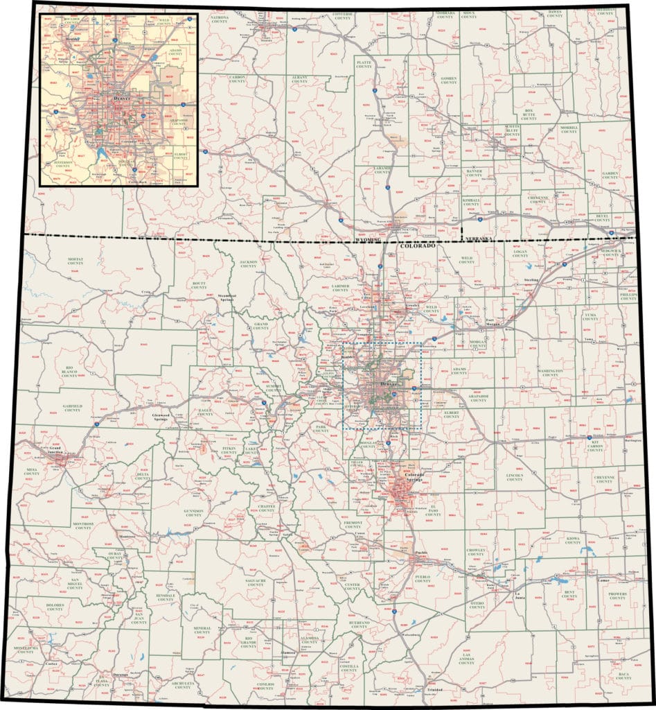
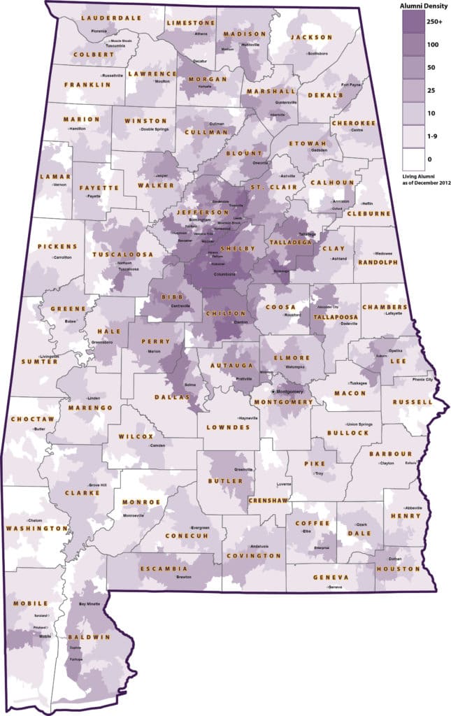
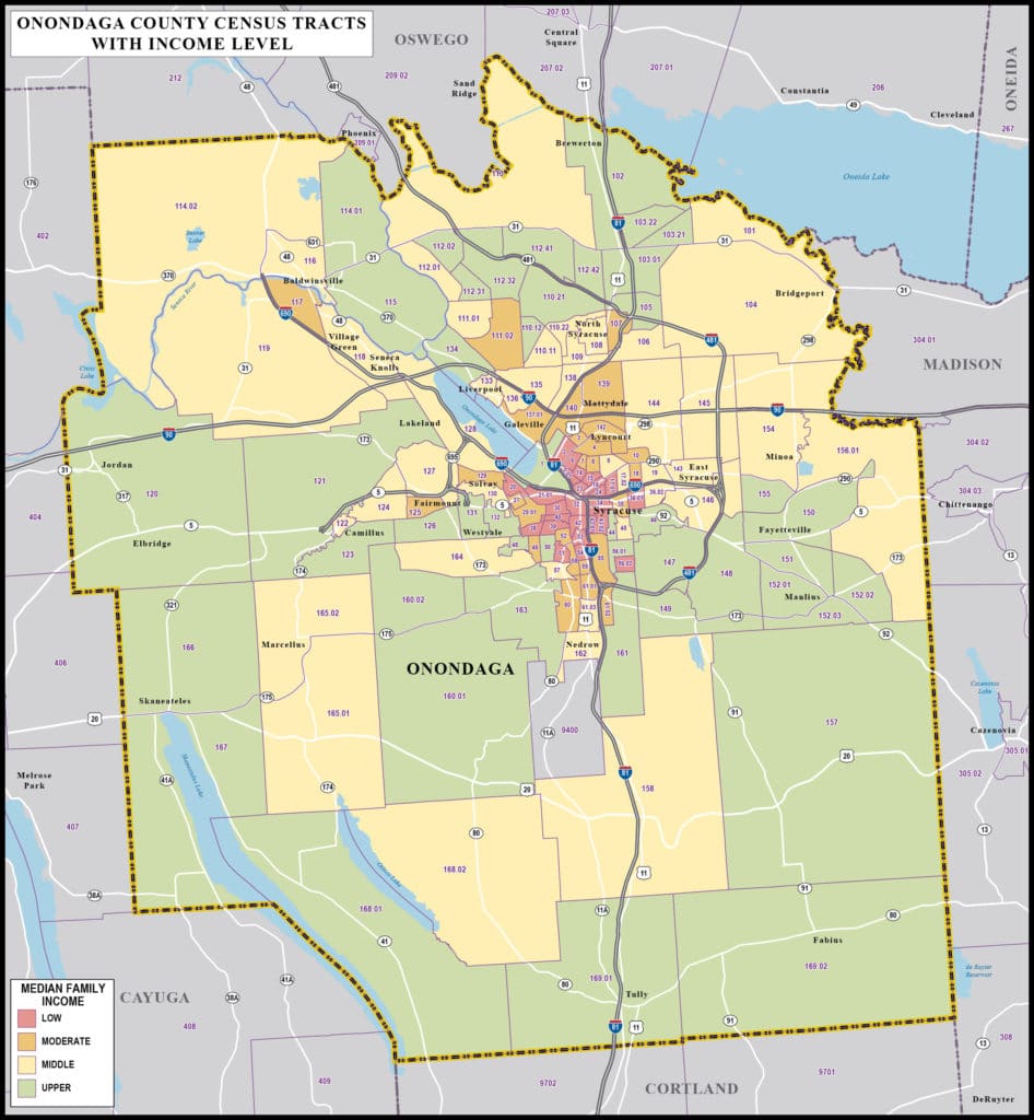
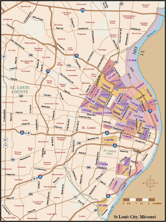
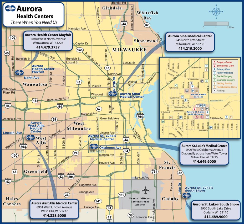
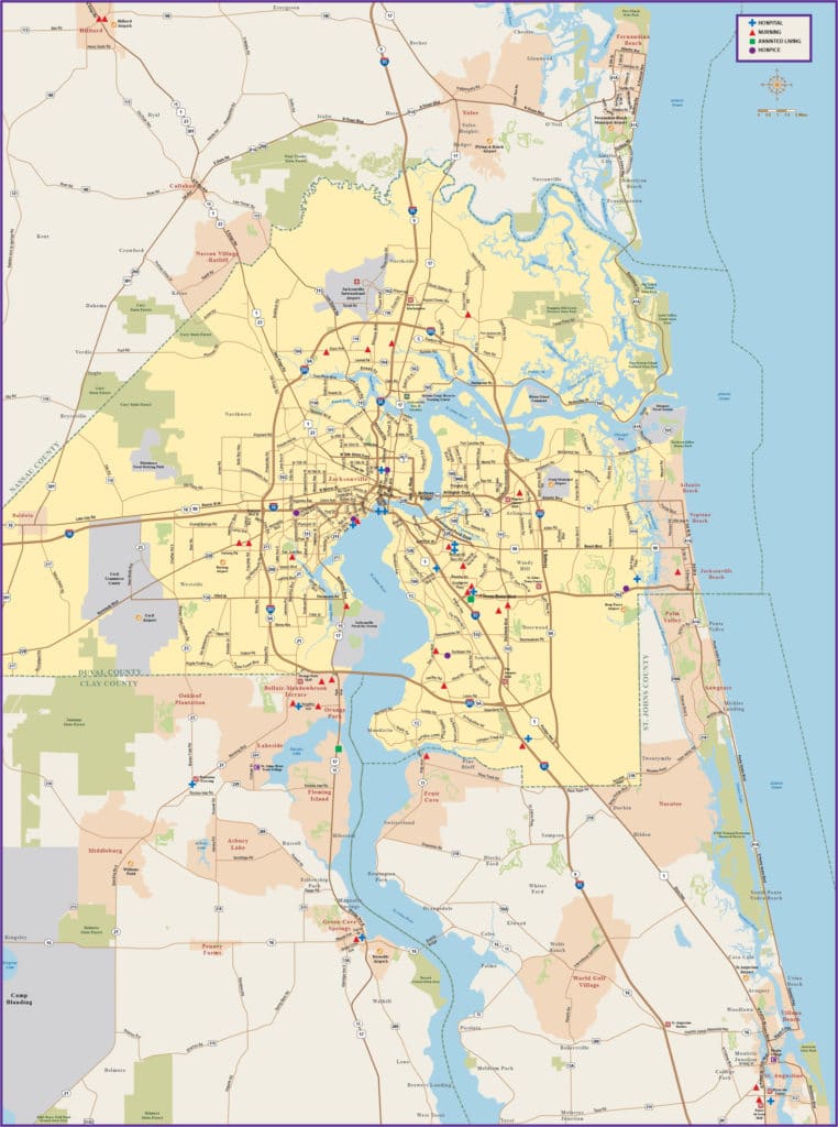
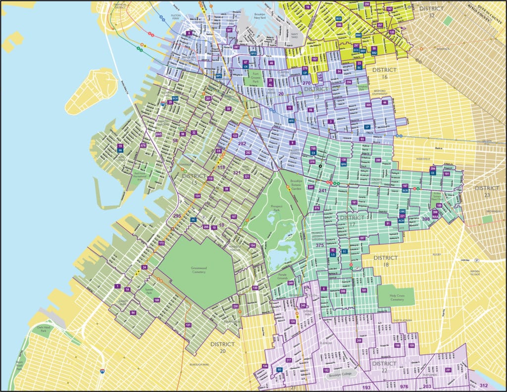
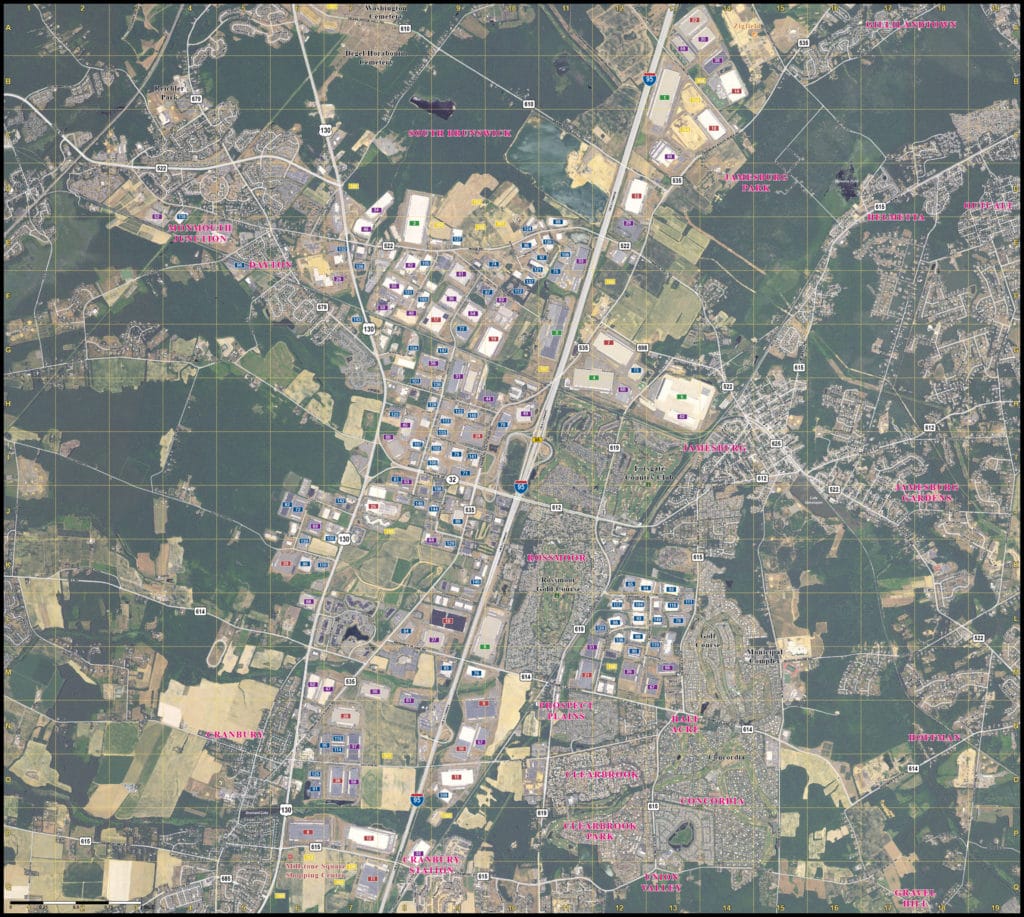
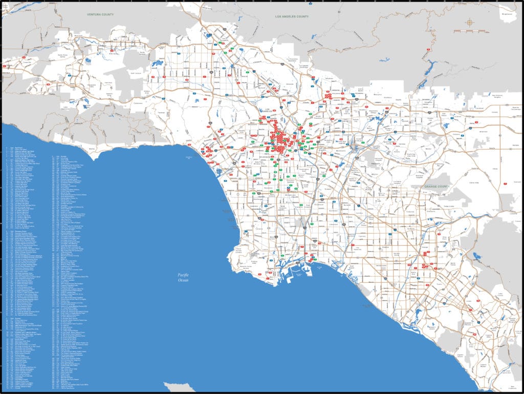
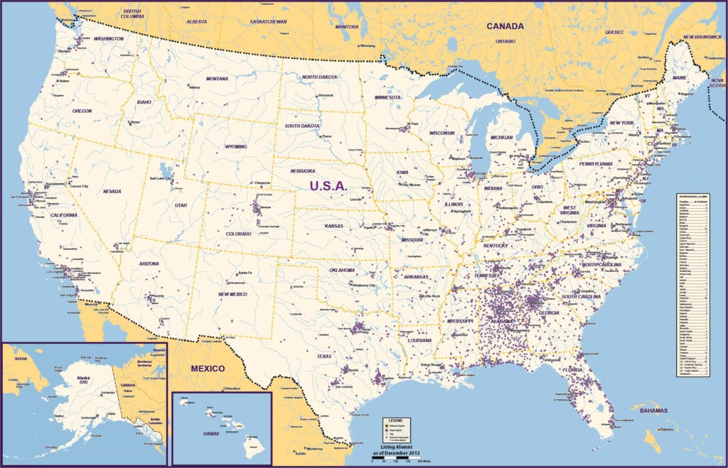
The best maps BECOME the data, engaging intuitive understanding.
We can clearly integrate and magnify important demographic and locational information as an overlay.
CONSIDER
- We import addresses, coordinates or GIS files
- Average income by zip code or census tract
- Overlay and analyze your data against population density
- We print huge wall maps utilizing dry-erase markers or push pins
ALWAYS
- Same-day quotes
- 125% guarantee
- Vector fully-editable Adobe Illustrator™ & PDF
- Printing, laminating & mounting

