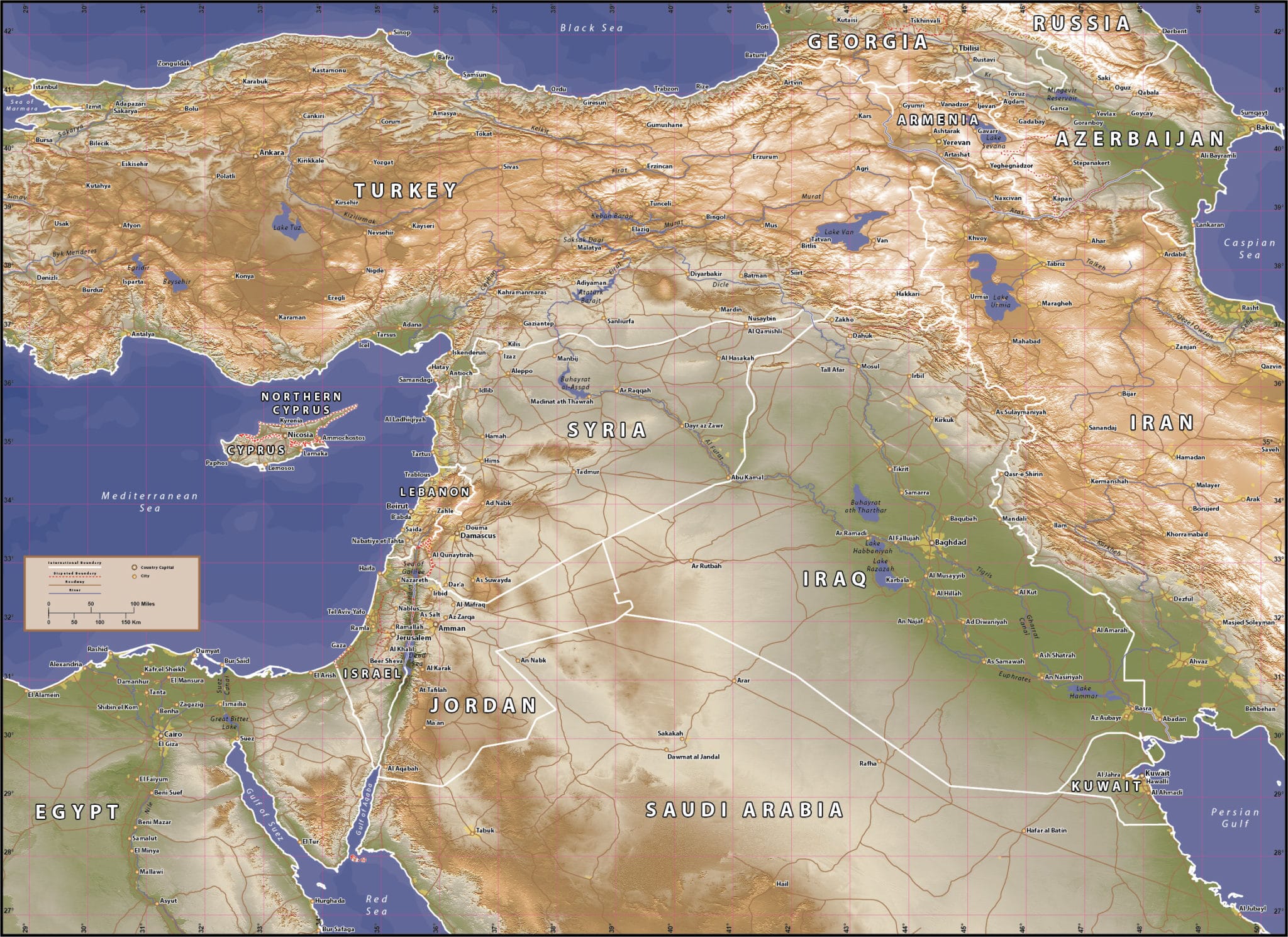
Syria Region (Shaded Relief) Map
Price: $145.00
Item # 2014
Syria Shaded-Relief Map accurately captures the variety of elevations and environments.
Our shaded-relief Syria Region Map is a new addition and one of our most advanced maps. It currently measures 32.1″ by 23.3″, but will hold up to significant enlargement. A military intelligence officer said that this map offers a more informative view of the region than looking out the window of International Space Station. Go ahead and zoom up on this one. We can also print, laminate or mount any of our vector maps. Contact us for options and pricing.
Creative Force Maps:
- You immediately receive both the Adobe Illustrator and PDF files at time of purchase.
- Royalty-Free.
- Fully-Editable and logically layered.
- High-Resolution vector maps.
Layer Directory
- Map Border
- Country Text
- Province Text
- Capital City
- Cities
- River Text
- Water Text
- Geographic Text
- Country Boundary
- Disputed Boundary
- 1 Degree Graticule
- Roads
- Lake Area
- River Line
- Country Area
- Water Contours
- Coastline
- Shaded Relief
Other Maps

