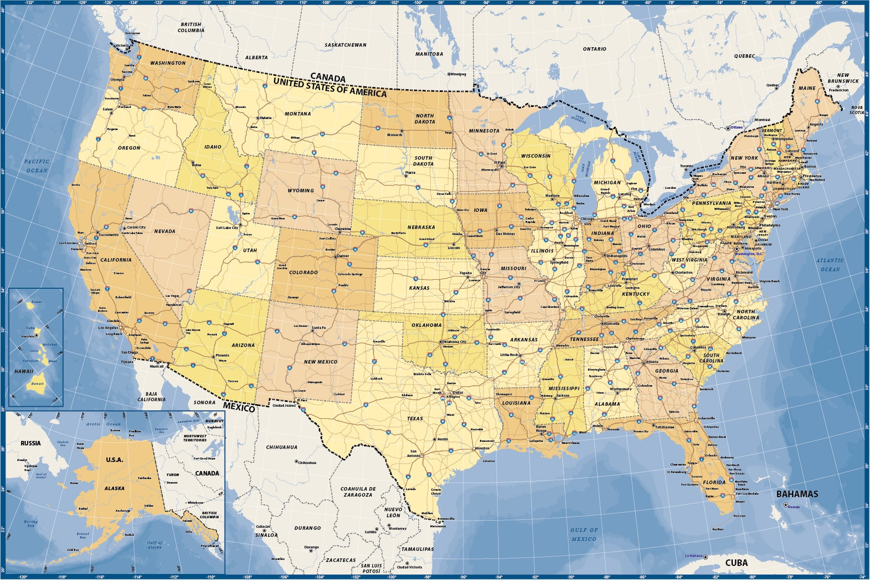
USA Basic Earth Tones
Price: $95.00
Item # 2501
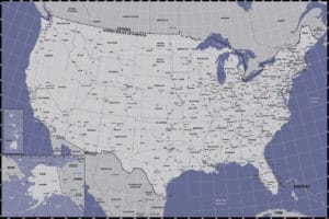
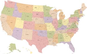
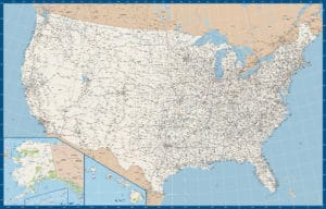
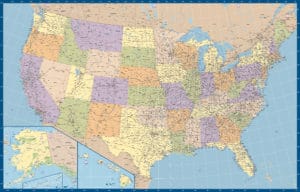
USA Basic Earthones Tones Map contains major highways and cities.
Our digital USA Basic Earth Tones map is currently 24.0″ by 16.0″, but it can be scaled up to full wall map size. This recent edition is a warm earthy addition to our catalog and includes ocean contours for interest. We can also print, laminate or mount any of our vector maps. Contact us for options and pricing.
Creative Force Maps:
- You always receive both the Adobe Illustrator and PDF files immediately.
- Fully-Editable and logically layered.
- High-Resolution vector maps.
- Royalty-Free.
Layer Directory
- HAWAII INSET
- ALASKA INSET
- Map Boundary
- Interstate Hwy Text
- Interstate Hwy Symbol
- International Text
- State Text
- Water Text
- Place Text – Nation Capital
- Place Text – State Capital
- Place Text – Pop 1M
- Place Text – Pop 100K
- Place Text – Pop 10K
- Nation Capital
- State Capital
- Place – Pop 1M
- Place – Pop 100K
- Place – Pop 10K
- Interstate Hwy
- US Hwy
- International Boundary
- State Boundary
- River Line
- GRID
- Lake Area
- Nat’l Park and Wildlife
- Ocean Depth
- Ocean Area
- Political Area
- Background
Other Maps
