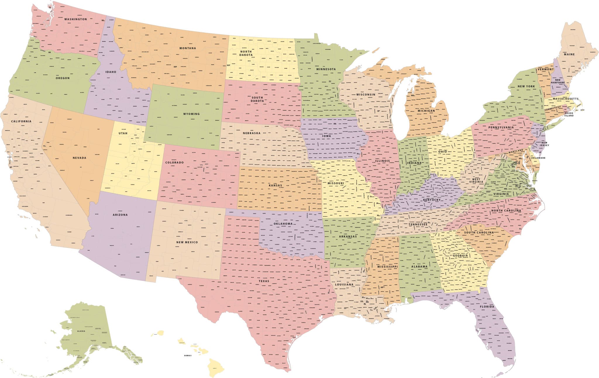
USA with County Boundaries
Price: $295.00
Item # 2504
USA with County Boundaries Map contains all counties as fillable polygons and text elements.
Our digital USA Map with Fillable County Boundaries is nothing less than a marvel, and is currently a whopping wall map size of 62.0″ by 40.0″. Over 3,000 counties, parishes, boroughs and political divisions are individually selectable and labeled. (The text point size is never smaller than 4 point—you’re welcome). We can also print, laminate or mount any of our vector maps. Contact us for options and pricing.
Creative Force Maps:
- You always receive both the Adobe Illustrator and PDF files immediately.
- Fully-Editable and logically layered.
- High-Resolution vector maps.
- Royalty-Free.
Layer Directory
- Alaska Inset
- Hawaii Inset
- State Text
- County Text
- State Boundary
- County Boundary
- State Area
Other Maps


